Importance of Aerial Photography in Real Estate Marketing
In the competitive landscape of real estate, capturing the full scope of a property's appeal goes beyond traditional ground-level photography. Aerial photography has become a pivotal component in property marketing strategies, especially for estate agents aiming to attract discerning buyers and sellers. Utilizing high-quality aerial imagery allows for a comprehensive view of the property and its surroundings, giving prospective clients an immersive sense of scale, layout, and context.
High-resolution aerial images can highlight expansive land plots, landscaped gardens, proximity to amenities, and unique architectural features that might be overlooked in standard images. This perspective not only enhances the visual appeal of listings but also provides clarity and transparency, fostering greater trust among potential buyers. When viewers see the property in its entirety and understand its geographical context, they are more likely to engage with the listing and arrange viewings.
Furthermore, aerial photography amplifies the storytelling aspect of property marketing. It helps estate agents create compelling narratives around the location, accessibility, and environment, which are critical attributes for buyers making significant investment decisions. As the digital real estate marketplace becomes increasingly saturated, leveraging aerial images can significantly differentiate listings, positioning an agent's portfolio as innovative and comprehensive.
Types of Drone and Equipment Used
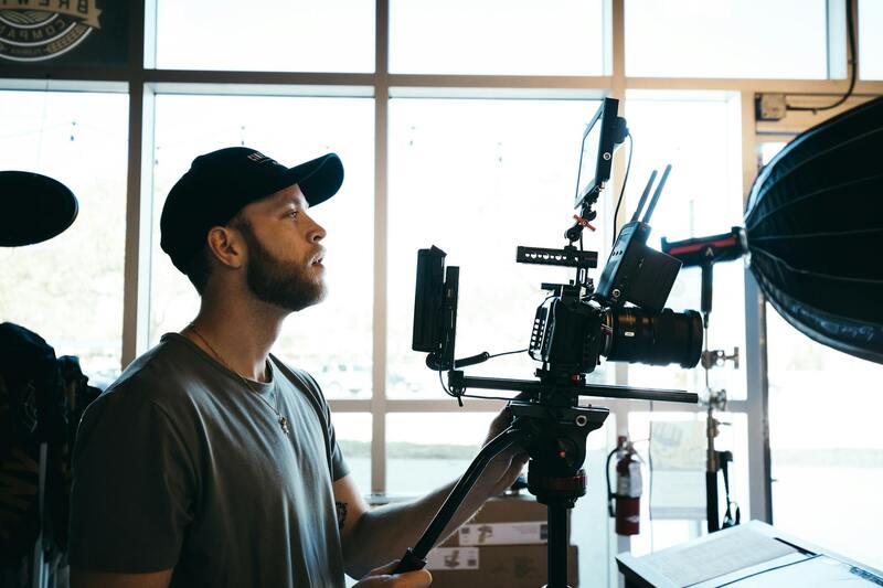
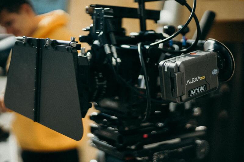
To achieve stellar aerial imagery for property listings, estate agents typically rely on a range of specialized drones and equipment designed for high-quality capture and operational safety. The market offers a variety of drone models, each suited for different filming requirements and budget considerations. High-end professional drones are equipped with ultra-high-definition cameras capable of capturing 4K or even 8K footage, ensuring sharp, detailed images that highlight the property's features vividly.
For instance, multi-rotor drones are among the most common in real estate photography, providing stability and precise maneuverability in various environments. These drones are often fitted with gimbal-stabilized camera systems, which keep the footage smooth and free from shakiness, even in windy conditions. Additionally, many operators use drones with interchangeable lenses or adjustable camera angles to capture diverse perspectives and maximize visual impact.
Lightweight and portable, modern commercial drones also incorporate GPS waypoints and automated flight modes, streamlining the aerial photography process and allowing for precise, repeatable shots. Some advanced models come with obstacle avoidance systems, crucial for maintaining safety around complex property terrains or congested urban areas. The choice of equipment often depends on the specific goals of the shoot, the size and layout of the property, and access constraints.
Beyond the drone itself, practitioners employ ground stations, high-capacity batteries, and powerful onboard processing units to manage flights and image quality efficiently. The integration of these tools enables the production of professional-grade aerial images that can significantly influence a property’s market appeal.
Types of Drone and Equipment Used
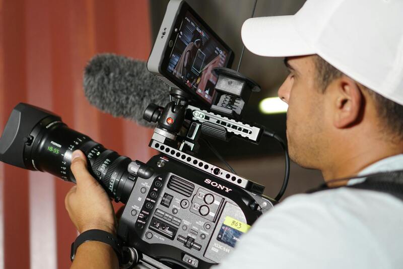
To achieve optimal results in aerial photography for estate agents, selecting the right drone and camera gear is essential. The most common drones utilized in professional real estate imaging are multirotor models, known for their stability, ease of maneuverability, and ability to hover precisely over targeted areas. These drones typically feature high-capacity batteries, enabling extended flight times vital for capturing comprehensive shots of large properties.
Equipped with high-resolution cameras, such as 4K or 8K capable sensors, these drones deliver sharp, detailed images that highlight a property's key features. The use of gimbal-stabilized camera systems ensures smooth footage, even in breezy conditions or during complex maneuvers, which is crucial for producing professional-grade visuals.
Adjustable lens systems and variable focal lengths allow operators to tailor each shot, emphasizing the property's surroundings and layout effectively. Features like panoramic and HDR imaging modes expand the creative options available, providing estate agents with dynamic visuals for marketing purposes. Furthermore, some drones incorporate intelligent flight modes such as automated orbiting or waypoint missions, facilitating consistent and repeatable shoots essential for comparative marketing or multiple property listings.
Safety features, including obstacle detection and avoidance sensors, are increasingly integrated into modern drones. These enhancements protect both the equipment and nearby structures, permitting safer operation in complex environments like densely built urban neighborhoods or landscaped estates.
In essence, the combination of robust drone hardware, high-quality optics, and intelligent flight software empowers estate agents to produce visually compelling aerial content that stands out in competitive markets. This technological synergy enables the capture of comprehensive property perspectives that traditional photography cannot attain, enriching marketing strategies with impactful visuals.
Secure and Responsible Flight Operations
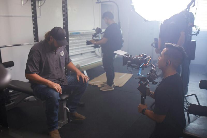
To ensure consistent quality and safety during aerial photography sessions, estate agents and operators should adhere to strict operational protocols. Confirming that all flights are conducted within pre-planned flight paths minimizes the risk of unauthorized overflight or capturing areas beyond the target property. Utilizing well-maintained equipment reduces chances of technical malfunction, which could compromise safety or image quality. Prior to each shoot, conducting a comprehensive site assessment helps identify potential obstacles, such as power lines, tall trees, or nearby structures that could interfere with drone navigation. Solar glare, changing weather conditions, and varying light levels should also be considered, as these factors impact the clarity and vibrancy of aerial captures. Operators must perform pre-flight checklists, including battery levels, camera settings, and signal integrity, to ensure optimal performance. Post-shoot data management—such as proper storage, backups, and image review—facilitates subsequent editing and marketing use while maintaining the security of sensitive property visuals. Properly training drone pilots on the latest operating procedures and safety standards significantly enhances the effectiveness of aerial photography campaigns. Additionally, staying informed about ongoing changes in drone technology and regulations supports continuous compliance while leveraging advancements for better quality captures.
Types of Drone and Equipment Used
For estate agents seeking high-quality aerial imagery, selecting the appropriate drone and equipment is a critical consideration. Modern drones range from compact, consumer-grade models to advanced, industrial-grade platforms designed for professional photography and videography. Many professional-grade drones are equipped with high-resolution cameras capable of capturing detailed images at various angles and altitudes, essential for showcasing expansive properties and intricate architectural features.
Standard features to evaluate when choosing equipment include gimbal stabilization systems that ensure shake-free images, adjustable camera settings for exposure and focus, and GPS capabilities for precise control and repeatable flight paths. Multi-sensor systems, such as those incorporating infrared or thermal imaging, can provide additional value in certain property types, like those with unique landscape features or for inspections of larger estates.
Battery technology also plays a crucial role, as longer flight times allow for comprehensive coverage of large properties without frequent interruptions. Moreover, maintaining a versatile fleet of drones with different payload capacities enables estate agents to adapt to diverse property types, from sprawling estates to urban penthouses.
Additionally, supporting equipment such as portable landing pads, remote controllers, and high-capacity batteries ensure efficient shoot preparations and operations. For consistent results, many professionals opt for drones from established manufacturers that provide reliable support, firmware updates, and compatibility with advanced editing software.
Types of Drone and Equipment Used for Aerial Photography
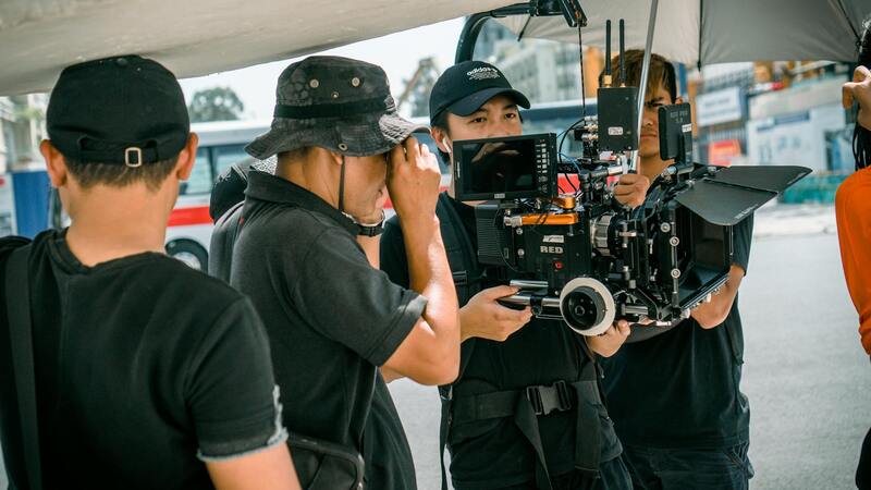
When selecting drones and equipment for capturing high-quality aerial images, estate agents and professional photographers must consider several technical features that influence image quality, flight stability, and operational efficiency. Multi-rotor drones remain the most popular choice for real estate purposes due to their maneuverability, ease of deployment, and ability to perform precise hovering and positioning. These drones are equipped with high-resolution cameras capable of capturing detailed imagery essential for showcasing property features comprehensively.
Among the essential features to look for are gimbal stabilization systems, which ensure steady images even when the drone encounters turbulence or complex flight paths. Adjustable camera settings, including ISO, shutter speed, and aperture, allow for optimal exposure in varying lighting conditions. GPS capabilities facilitate precise navigation and repeated flight patterns, critical for creating consistent imagery versions across different listing presentations.
Advanced multi-sensor systems expand the scope of aerial imaging. For example, infrared sensors can detect heat signatures, aiding inspections of large estates, while thermal imaging can reveal energy efficiency issues or structural inconsistencies. High-capacity batteries extend flight time, enabling more extensive coverage per flight session, which is valuable when capturing expansive properties.
In addition, professional-grade drones are compatible with a variety of payloads—such as different lenses or specialized sensors—allowing estate agents to tailor their scans to specific property types. Accessories like portable landing pads and remote controllers facilitate efficient operation in diverse environments, ensuring the quality and safety of every shoot.
Drones from reputable manufacturers providing ongoing firmware updates, reliable customer support, and compatibility with advanced editing software are typically preferred. Such investment guarantees consistent, high-quality imagery that elevates property listings and marketing campaigns.
Verifying Proper Operation and Ethical Use of Drones
Maintaining the integrity of aerial imagery relies heavily on the responsible operation of drones. Estate agents and their photography teams must adhere to strict procedural standards that promote safety and professional conduct. Prior to each shoot, thorough pre-flight checks are conducted to verify that drone equipment functions correctly, including battery status, sensor calibration, and control responsiveness. Employing comprehensive flight plans helps ensure consistent coverage and minimizes risks associated with unplanned maneuvers or unforeseen obstacles.
In addition, establishing clear communication protocols during shoots enhances safety and coordination, especially when operating in proximity to others. Use of live video feeds allows pilots and agents to monitor real-time footage, adjusting flight paths as needed to capture optimal angles without infringing on privacy or disrupting surrounding properties. Utilizing geofencing technology can prevent drones from entering restricted zones, safeguarding both the operator and the property's privacy.
Securing Consent and Respecting Property Boundaries
While capturing aerial shots, estate agents should prioritize obtaining explicit permissions from property owners or authorized representatives before deploying drones. Communicating the purpose of the shoot, the intended use of images, and the scope of coverage fosters transparency and builds trust with clients and neighbors. Clear understanding of allowable flight zones ensures compliance with property rights and minimizes potential conflicts.
Utilizing detailed site surveys and planning flight routes that respect boundaries reduces the likelihood of encroachments. When working near neighboring properties, special attention should be paid to avoid capturing private spaces inadvertently. Employing specialized software for mapping out flight paths can help ensure that drone operations remain within designated areas, preserving privacy and maintaining a professional reputation.
Advanced Techniques and Equipment for Premium Aerial Content
To produce compelling aerial images that stand out in the competitive real estate sector, estate agents and professional drone operators increasingly turn to advanced techniques and high-grade equipment. Utilizing the latest drone technology, which includes stabilized gimbals, high-resolution sensors, and intelligent flight modes, allows for capturing crisp, detailed visuals regardless of environmental conditions. These enhancements enable the creation of smooth, cinematic footage and sharp images that showcase properties from multiple angles, highlighting both architectural features and surrounding landscapes.
Specialized drones equipped with 4K or higher resolution capabilities facilitate the production of stunning visual content suitable for high-end marketing campaigns. Multi-directional gimbals help achieve ultra-smooth shots, crucial for highlight reels or virtual tours, while dolly and orbit modes automate complex maneuvers, ensuring fluid transitions and dynamic perspectives. Some operators employ 3D mapping and photogrammetry tools to generate detailed property models or flythrough simulations, providing prospective buyers with immersive visual experiences that can elevate a listing’s appeal and trustworthiness.
Implementing Post-Production Enhancements
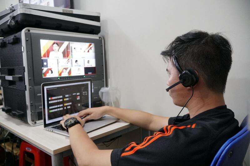
Post-capture editing plays a critical role in maximizing the impact of aerial visuals. Color correction, contrast adjustments, and light balancing enhance the clarity and vibrancy of images, ensuring properties appear as attractive as possible. With sophisticated editing software, professionals can also remove minor distortions or distractions, focus on key property features, and create cohesive visual stories within marketing materials. Carefully processed aerial imagery can be integrated seamlessly with ground-level shots to develop comprehensive property presentations that resonate with viewers.
Ensuring Safety and Privacy During Operations
Advanced equipment often incorporates built-in safety features such as obstacle detection, auto-return functions, and geofencing to prevent accidental incursions into restricted zones. These technological safeguards help maintain a high standard of operational responsibility by avoiding unintended captures of private or sensitive areas. Operators trained in the latest drone flight protocols can adeptly navigate complex environments, adapt to changing conditions, and respond promptly to any safety concerns that arise during a shoot.