Understanding Drone Photography in Real Estate
In the highly competitive Miami real estate market, visual presentation plays a crucial role in attracting potential buyers and investors. Drone photography has emerged as a transformative tool that provides a distinctive perspective, capturing expansive aerial views that traditional ground-level photography cannot achieve. This innovative approach allows real estate professionals to display properties in their full context, highlighting unique features such as sprawling landscapes, waterfront access, and architectural details from an elevated vantage point.
Drone photography’s significance extends beyond mere aesthetics. It enables the creation of comprehensive property portfolios that include aerial images, dynamic video walkthroughs, and 360-degree panoramic shots. These visuals not only enhance the appeal of listings but also offer prospective buyers a detailed and immersive understanding of the property's layout, surroundings, and neighborhood characteristics.
By integrating drone footage into marketing materials, real estate agents can differentiate their listings in a crowded marketplace. High-quality aerial imagery adds credibility and professionalism to online listings, making them stand out on digital platforms. Additionally, drone shots are particularly effective in showcasing expansive commercial properties, multiple-acre estates, and properties with unique geographical features that would otherwise be difficult to visually communicate from the ground level.
Employing drone photography in real estate marketing has become a standard practice among industry leaders, especially in scenic and diverse markets such as Miami. As technology advances and regulations become more refined, the use of drone imagery continues to elevate the standard of property presentations, setting a new benchmark for marketing excellence and client engagement.
Legal and Regulatory Considerations for Drone Use
Implementing drone photography in real estate requires adherence to specific guidelines established through authoritative practices. Ensuring the operation of drones within the parameters set by relevant authorities involves comprehensive understanding of airspace rules, operational limits, and safety protocols. Real estate professionals collaborating with licensed drone operators benefit from the assurance that their imagery collection complies with official standards, fostering trust and professionalism.
Operators utilize certified equipment and follow established flight procedures to avoid interference with manned aircraft, adhering to designated no-fly zones, especially around sensitive areas such as airports, government buildings, and wildlife preserves. Employing well-trained pilots equipped with updated authorization documents ensures that all activities are conducted smoothly and responsibly. This approach not only guarantees high-quality imagery but also preserves property owner and public confidence in drone-based marketing efforts.
Staying current with evolving drone policies is critical for professional success. Regulations may incorporate restrictions on flight altitude, line-of-sight requirements, and designated operational hours to prevent any disruptions or safety concerns. Collaboration with experienced drone photographers familiar with local guidelines simplifies this process, making it easier to focus on capturing compelling visuals without legal complications.
In addition to operational procedures, proper documentation — such as flight logs and permit records — supports transparency and accountability. This proactive approach diminishes risks related to unintentional violations, optimizes workflow efficiency, and enhances the overall quality of real estate marketing assets.
Understanding Drone Photography in Real Estate
Drone photography has revolutionized how properties are showcased, providing comprehensive aerial views that traditional ground photography cannot achieve. High-resolution images and videos captured from drones offer potential buyers a unique perspective of a property's layout, surrounding environment, and neighborhood amenities. This immersive visual approach enhances marketing strategies and accelerates property sales by giving prospective buyers a clearer understanding of the property's scale and setting.
Utilizing drone technology involves more than just flying a camera-equipped aircraft; it requires skillful operation, a keen eye for composition, and an understanding of environmental factors such as lighting, weather conditions, and spatial obstacles. Expert drone real estate photographers leverage advanced equipment and refined techniques to produce images that highlight a property’s best features, from expansive backyard pools to stunning waterfront views.
Additionally, drone photography can facilitate dynamic marketing tools, including aerial walkthroughs, virtual tours, and promotional videos that engage viewers and increase online visibility. As the real estate market in Miami continues to grow competitive, leveraging drone imagery can distinguish listings, draw more attention, and ultimately lead to faster sales.
Benefits of Aerial Imagery in Real Estate Marketing
- Enhanced property presentation: Showcasing the full scope of a property and its surroundings from a bird's-eye view.
- Access to hard-to-reach spaces: Capturing images of rooftops, large estates, or waterfronts that are difficult to photograph from the ground.
- Improved marketing reach: Creating compelling visual content for online listings, social media, and virtual tours.
- Faster property sales: Attracting more potential buyers through eye-catching imagery and videos that stand out in a crowded marketplace.
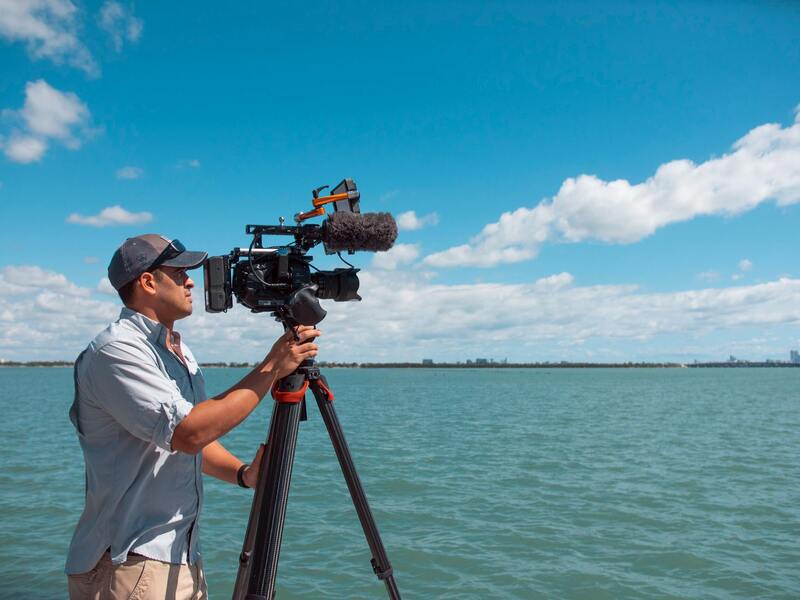
Technical Aspects for High-Quality Drone Shots
Achieving professional-grade images requires meticulous planning and execution. Key considerations include choosing the appropriate drone model equipped with high-resolution cameras capable of capturing detailed imagery, especially in varying lighting conditions. Pilots should optimize flight paths and camera angles to highlight architectural features and landscapes effectively.
Post-processing also plays a critical role in enhancing drone footage. Adjustments in color grading, stabilization, and cropping can provide crisp, vibrant visuals that resonate well across marketing platforms. Skilled drone operators understand how to balance technical settings and creative vision, ensuring each shot aligns with the overall marketing narrative.
Safety and Compliance in Drone Operations
Safe operation is paramount to successful drone photography. This involves thorough site assessments, adherence to designated flight zones, and avoidance of obstructions such as power lines or built structures. Maintaining a clear line of sight and respecting altitude restrictions help prevent accidents and ensure smooth flights.
Regular calibration, routine maintenance of equipment, and proper pilot training contribute to operational reliability. While navigating Miami’s vibrant urban environment, operators must remain vigilant to prevent interference with manned aircraft and sensitive infrastructure, maintaining the integrity of the drone photography process.
Understanding Drone Photography in Real Estate
Drone photography has revolutionized the way real estate properties are showcased, offering a comprehensive perspective that traditional ground photography cannot achieve. By utilizing advanced unmanned aerial vehicles, professionals can capture expansive aerial shots, detailed imagery of property exteriors, and unique vantage points that highlight the property's size, landscape features, and surrounding neighborhood. Accurate drone imagery not only enhances visual appeal but also provides prospective buyers with a more immersive understanding of the property layout and its environment, making it an indispensable tool in modern real estate marketing strategies.
Applications of Drone Photography in Real Estate
- Aerial Property Views: Showcasing entire estates, large plots of land, or commercial space from above, giving clients a complete sense of the property's scale and context within its surroundings.
- Highlighting Unique Property Features: Focusing on key architectural elements, landscaped gardens, pools, and outdoor amenities that add value to the listing.
- Neighborhood and Location Insights: Providing visual context of nearby attractions, infrastructure, and accessibility, helping prospective buyers assess the property's environment comprehensively.
- Time-Lapse and Panorama Shots: Creating dynamic visual stories that engage viewers and enhance online listings or virtual tours.
Advantages Over Traditional Photography
Compared to ground-level images, drone photography provides broader perspectives that capture the full scope of a property’s features and location in a single, compelling shot. It enables real estate agents to highlight outdoor spaces, terrain, and surrounding amenities effectively, drawing potential buyers' attention. Furthermore, professional drone imagery can be integrated into virtual tours and marketing campaigns, making property listings more visually engaging and accessible across digital platforms. The ability to produce high-resolution, stabilized footage ensures crisp, vivid visuals that elevate the overall presentation of real estate listings.
Technical Considerations for High-Quality Drone Imaging
Achieving optimal drone imagery requires attention to several technical elements. High-resolution cameras with wide sensors are essential for capturing fine details, especially in varying lighting conditions common in Miami’s diverse environments. Flight stability is achieved through advanced gimbal systems, which prevent image blurring and ensure smooth footage. Skilled pilots must plan flight paths carefully to avoid sky obstructions, power lines, or neighboring structures, maintaining safety and image integrity. Additionally, post-processing techniques such as color correction, stabilization, and cropping can significantly enhance the final visuals, making the images more appealing and aligned with marketing goals.
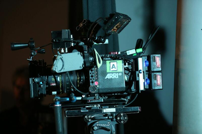
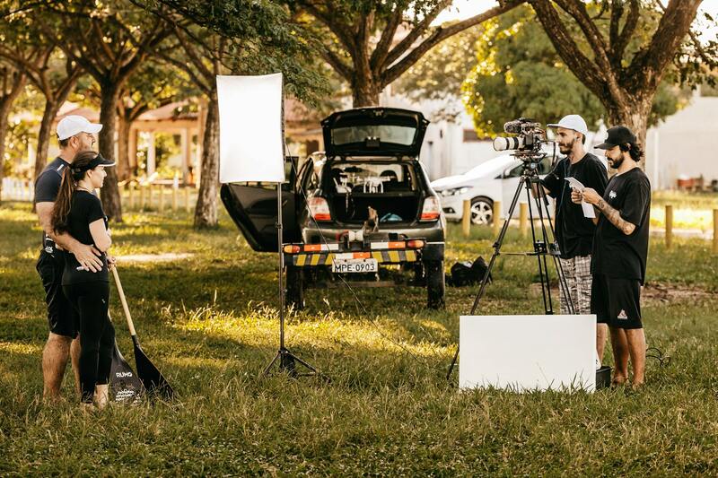
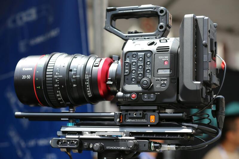
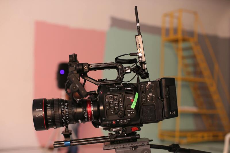
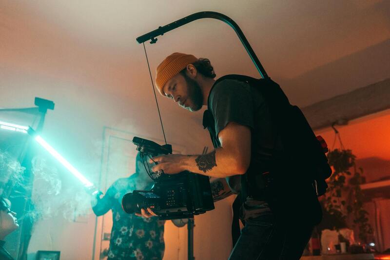
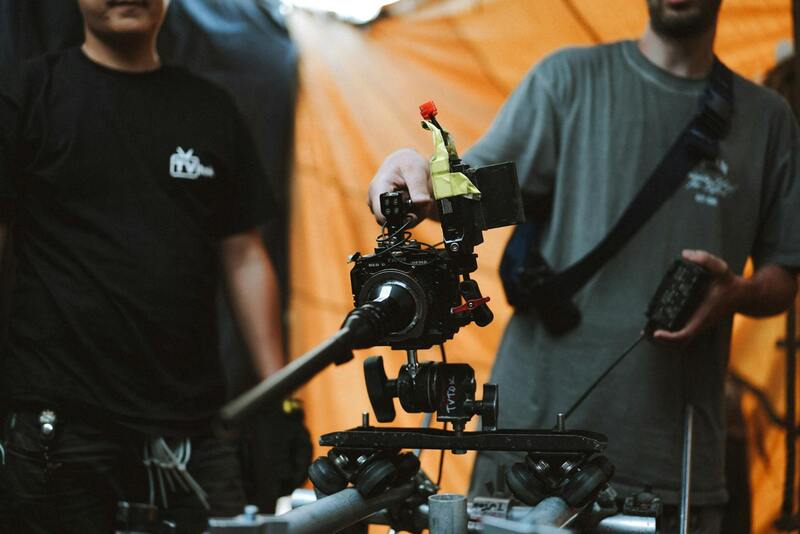
Key Equipment and Techniques for Drone Real Estate Photography
To achieve stunning and effective real estate imagery, the right equipment and technical expertise are indispensable. High-quality drone cameras equipped with large sensors and high-resolution capabilities ensure crisp, detailed images that showcase a property’s best features. These cameras often come with adjustable apertures and excellent low-light performance, which is critical for capturing vibrant visuals during various times of the day and under different lighting conditions, common in Miami's diverse environments.
Stabilization is a fundamental aspect of producing professional-quality footage. Advanced gimbal systems are employed to keep the camera steady during flights, eliminating motion blur and ensuring smooth, cinematic visuals. This stabilization allows for the capture of sweeping aerial vistas, close-up property details, and dynamic shots that highlight outdoor amenities without jitter or distortion.
Flight planning is a skill that combines technical knowledge with an understanding of the property’s surroundings. Effective drone operators carefully analyze the property layout, obstructions like power lines or neighboring structures, and local airspace considerations to design safe, efficient flight paths. This planning helps to eliminate unnecessary risks while maximizing the visual impact of each shot.
Post-processing techniques enhance the raw footage and images, transforming them into compelling marketing assets. Color correction ensures accurate and vibrant tones that reflect the property’s actual appeal. Image stabilization in editing software refines shaky footage, creating a sleek, professional appearance. Cropping and framing can be adjusted to focus attention on key features or to fit marketing formats, whether for online listings, virtual tours, or promotional videos.

Understanding Drone Photography in Real Estate
Drone photography has revolutionized the way real estate properties are marketed, providing high-quality aerial footage that captures the essence of a property’s surroundings and features. Utilizing unmanned aerial vehicles equipped with advanced cameras allows real estate professionals to showcase properties from unique perspectives, highlighting outdoor spaces, proximity to amenities, and neighborhood characteristics that traditional ground-based photography may not effectively convey. These aerial images and videos offer potential buyers a comprehensive view of the property layout, landscaping, and nearby infrastructure, creating a compelling visual narrative that enhances listing appeal.
Drone technology provides a dynamic tool for emphasizing the scale and beauty of residential and commercial properties alike. When executed by skilled drone operators, the footage can depict the property's unique selling points, from lush gardens and swimming pools to waterfront access and panoramic cityscapes. In competitive markets like Miami, where properties often benefit from outdoor aesthetics and views, aerial imagery has become indispensable for real estate professionals aiming to differentiate their listings. Beyond simply capturing stunning visuals, drone photography supports comprehensive virtual tours, social media campaigns, and online listing platforms, creating engaging content that transforms property marketing efforts.
Benefits of Using Drone Photographers for Real Estate in Miami
- Showcase property scale and layout from an elevated perspective, enhancing overall presentation.
- Highlight exterior features, landscaping, and outdoor amenities with cinematic quality.
- Provide viewers with a sense of neighborhood context, proximity to local attractions, and surrounding infrastructure.
- Reduce the need for multiple ground-level shots, streamlining the photography process.
- Create compelling videos that increase online engagement and foster faster sales.
- Enable virtual walkthroughs that appeal to remote or international buyers.
- Improve listing visibility across digital platforms, boosting marketing reach.

When working with specialized drone real estate photographers in Miami, agents gain access to professionals well-versed in aerial shot composition, flight safety, and the technical requirements necessary to produce impactful marketing content. Their expertise ensures that each shot aligns with the property’s sale points and elevates the overall quality of the listing, ultimately attracting more prospective buyers and expediting the sales process.
Legal and Regulatory Considerations for Drone Use
Operating drones for real estate photography requires adherence to specific guidelines and standards established by aviation authorities overseeing airspace activity. Miami-based operators often work within these frameworks, ensuring all flights are conducted responsibly and in compliance with established procedures. This includes obtaining necessary clearances, understanding restricted zones, and respecting privacy boundaries of neighboring properties.
Properly licensed drone operators also maintain up-to-date knowledge of airspace regulations to avoid airport proximity zones, military operation areas, or other restricted locations. Before conducting shoots, they typically perform detailed flight planning, assessing weather conditions, and emergency protocols to ensure safety and efficiency. This disciplined approach enables the production of high-quality footage while upholding operational standards that support the ongoing growth of drone photography in real estate marketing.
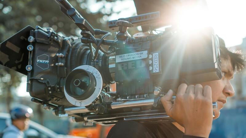
Key Equipment and Techniques for Drone Real Estate Photography
The efficacy of drone-based property marketing hinges on the quality of equipment and techniques employed. Professionals utilize high-resolution cameras with wide sensors capable of capturing detailed imagery in various lighting conditions, especially the bright and vibrant Miami environment. Advanced stabilization systems, like 3-axis gimbals, ensure smooth footage even in windy conditions or complex flight maneuvers.
- Drones: Multi-rotor platforms with sufficient payload capacity to carry high-end cameras.
- Cameras: 20MP+, 4K resolution or higher, with wide-angle lenses designed for sharp, vibrant imagery.
- Stabilization: Gimbal systems that eliminate jitters and distortions, producing professional-grade visuals.
- Flight Planning Software: Tools used to strategize optimal flight paths, obstructions, and battery management.
- Post-Processing Software: Editing tools for color correction, stitching panoramic views, and refining images to meet marketing standards.
Employing these technologies with precise techniques allows drone professionals in Miami to deliver captivating visuals that accurately reflect the property's features and appeal. Proper flight execution, combined with quality post-processing, creates marketing materials that stand out in an increasingly competitive real estate landscape.
Legal and Regulatory Considerations for Drone Use
While drone technology offers significant advantages for real estate marketing, it is essential to operate equipped with thorough knowledge of the operational guidelines set forth by relevant authorities. These standards encompass aspects such as flight altitude, designated airspace, and operational times, ensuring that drone activities do not interfere with other airspace users or infringe upon privacy expectations. Adhering to these parameters helps maintain a professional image and safeguards property owners' interests.
To secure optimal results, drone operators in Miami should consider obtaining certification from recognized agencies, which often involves passing theoretical knowledge assessments and demonstrating practical flying skills. Certification provides assurance that the operator understands the boundaries of drone use within urban environments, including emergency procedures and safe flight practices.
Operational planning is a critical step in aligning drone missions with existing regulations. This includes scheduling flights during permissible hours to avoid disruptions, establishing safe takeoff and landing zones to minimize risks, and conducting pre-flight assessments of the environment to identify potential hazards, such as high-rise structures or power lines. These preparatory steps contribute to smooth execution and uphold safety standards.
Operational Best Practices for Drone Real Estate Photography
- Conduct comprehensive site surveys before flight to identify aerial obstacles.
- Plan flight paths that maximize property visibility while maintaining respect for privacy boundaries.
- Use GPS-based flight planning tools to ensure precise and repeatable camera angles.
- Implement continuous communication protocols for team coordination, especially during complex shots.
- Monitor weather conditions continuously; avoid flying in high winds, rain, or low visibility scenarios.
Engaging with licensed and experienced drone operators who are well-versed in these practices can substantially improve the quality and compliance of aerial property imagery. This ensures that marketing efforts are not only visually compelling but also conducted within the framework of established operational standards, safeguarding all parties involved and contributing to a seamless real estate promotion process.
Ensuring Proper Training and Certification for Drone Photographers in Miami
To guarantee the highest standards in drone real estate photography, selecting professionals with comprehensive training and certification is essential. Certified drone operators have undergone rigorous education covering not only flight mechanics but also aerial safety procedures, environmental awareness, and photographic techniques. This specialized knowledge translates into superior image quality, precise footage, and adherence to recommended operational practices.
In Miami, many drone photographers pursue industry-recognized certifications from reputable organizations, which validate their expertise. These certifications often require passing written exams on aviation principles, undergoing practical flight tests, and committing to ongoing education to stay updated on technological advancements and procedural changes. Employing certified operators ensures that drone missions are executed with professionalism, precision, and respect for established standards, thereby minimizing risks associated with aerial photography projects.
Utilizing Advanced Flight Planning Tools for Optimal Results
Effective drone real estate photography depends heavily on meticulous planning. Modern flight planning tools integrated with GPS technology enable operators to chart precise flight paths that optimize property coverage while respecting privacy boundaries and environmental constraints. These tools allow for pre-programmed routes, automatic altitude adjustments, and repeatability for comparative shots over time, which is particularly beneficial in dynamic markets like Miami.
By leveraging sophisticated planning software, drone photographers can identify the best angles, avoid obstacles such as tall buildings or trees, and ensure consistent framing across multiple sessions. Such meticulous preparation results in high-quality, compelling visuals that accurately showcase the property's unique features, enhance marketing materials, and appeal to prospective buyers.
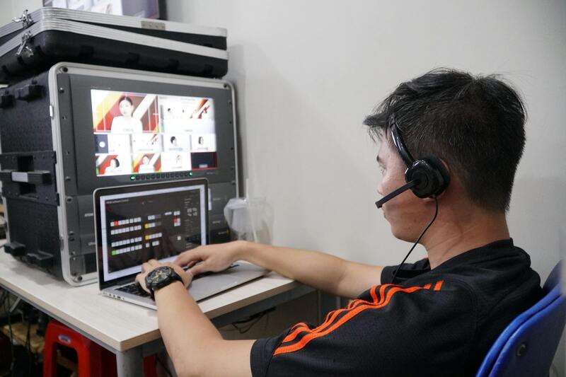
Post-Flight Data Management and Image Processing
After successful drone flights, professional editing and processing significantly enhance the visual appeal of aerial images and videos. High-resolution photographs are integrated into marketing campaigns, and 3D mapping or virtual tours can be created for immersive property presentations. Proper data management ensures that all footage and images are stored securely and organized for easy access and reuse in future marketing efforts.
Advanced editing software allows for color correction, perspective adjustments, and the removal of unwanted elements from images, providing a polished final product. In Miami's competitive real estate market, well-edited aerial visuals not only capture attention but also affirm the professionalism of the listing agent and production team, ultimately accelerating property sales.
Monitoring and Continual Improvement of Drone Operations
Ongoing assessment of drone photography operations is vital for maintaining high standards. This includes reviewing flight logs, analyzing image quality, and soliciting feedback from clients and marketing teams. Continuous improvement initiatives involve staying abreast of technological upgrades, adopting new techniques, and refining operational protocols to adapt to evolving environmental and regulatory landscapes.
Instituting regular training sessions and equipment updates ensures that drone operators remain proficient and prepared for diverse shooting scenarios typical of Miami's vibrant real estate market. Such dedication to excellence results in consistently superior imagery, reinforcing a company's reputation for quality and reliability in aerial property marketing.