Introduction to Drone Property Photography
Drone property photography has revolutionized the real estate marketing landscape, offering a dynamic and comprehensive perspective of properties that traditional methods often cannot match. Utilizing unmanned aerial vehicles, aerial images provide potential buyers with an immersive view of a property's layout, surrounding environment, and unique features. This visual approach not only enhances property listings but also significantly boosts engagement and interest.
In Miami, where luxury residences, sprawling estates, and beachfront properties are prominent, drone photography has become an essential component of high-impact marketing strategies. The ability to showcase an entire property from above, highlighting landscape architecture, amenities, and proximity to key attractions, positions listings ahead of the competition. As the real estate market continues to evolve, leveraging drone technology offers a distinct advantage for agents, developers, and property owners aiming to maximize visibility and appeal.
Legal and Regulatory Considerations in Miami
When implementing drone property photography, understanding the established procedures for operating drones in Miami is essential. Professionals must adhere to specific guidelines that govern the altitude, airspace, and proximity to certain areas to ensure safety and compliance. This involves coordinating with relevant authorities, obtaining necessary permissions, and respecting privacy boundaries to avoid disruptions or misunderstandings.
Operators are encouraged to maintain proper documentation of their flights, including flight plans, permits, and insurance coverage. Ensuring that drone operators are certified or trained according to recognized standards not only facilitates smooth workflow but also reassures clients of professional reliability and adherence to industry standards. These measures collectively create a trustworthy environment for high-quality aerial imagery production.
In addition, maintaining awareness of local restrictions and no-fly zones is paramount, especially near airports, public events, or densely populated areas. Utilizing up-to-date mapping tools and apps designed for drone pilots can facilitate compliance with these restrictions and prevent inadvertent violations. Professional drone operators in Miami often coordinate with local authorities beforehand to ensure their shoots are conducted smoothly and legally.
Incorporating these practices into workflow not only safeguards against potential legal issues but also demonstrates operational integrity, which is vital for establishing confidence among real estate clients and stakeholders. By respecting established protocols and engaging responsibly with the city's airspace, drone photographers can consistently deliver high-quality images aligned with regulatory expectations.
Legal and Regulatory Considerations in Miami
Effective drone property photography in Miami necessitates a thorough understanding of the city's specific operational guidelines. Adherence to local regulations involves obtaining necessary permits before conducting aerial shoots, especially when capturing images over private property or public spaces. Such permits are issued through city authorities and help in coordinating flight plans while respecting privacy and operational boundaries. In addition to permits, drone operators must ensure their equipment meets safety standards mandated by Miami's aviation authorities. This includes using aircraft that are registered and maintained according to industry best practices, with up-to-date firmware to ensure reliable operation. Operational best practices involve planning flights during daylight hours with optimal weather conditions, avoiding high wind speeds or rain which can compromise safety and image quality. Moreover, maintaining line-of-sight with the drone at all times is crucial, along with managing a safe distance from individuals and infrastructure. Compliance also extends to respecting designated no-fly zones around critical infrastructure such as airports, government buildings, and densely populated areas. Utilizing advanced mapping tools that provide real-time updates on restricted airspace helps drone pilots avoid accidental incursions. In Miami, working closely with local authorities prior to a shoot can streamline the process, ensuring your operation proceeds smoothly and without incident. By consistently following these best practices, aerial photographers and videographers enhance their professionalism and contribute to the reliable, high-standard production of property imagery. These measures, grounded in official operational protocols, support a seamless integration of drone technology into real estate marketing efforts while maintaining public trust and safety.
Ensuring Proper Image Quality through Equipment and Technique
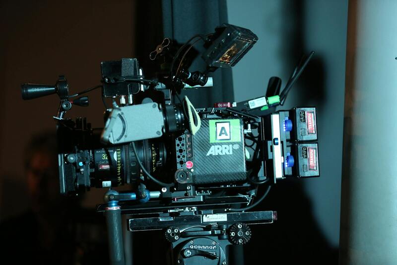
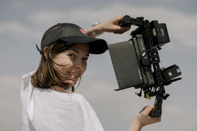
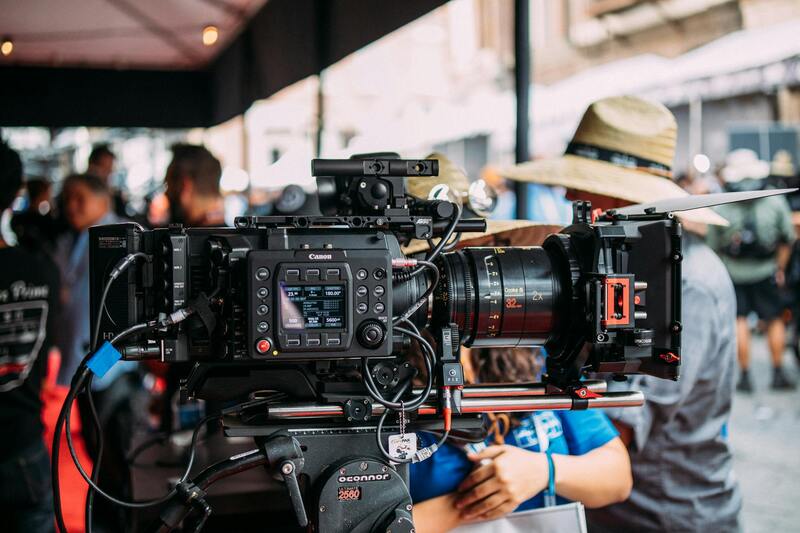
Achieving stunning aerial property images relies heavily on selecting the right equipment and employing effective shooting techniques. High-quality visuals are essential to attract potential buyers and present the property in the best possible light, both literally and figuratively. When choosing a drone for property photography, operators should prioritize models equipped with high-resolution cameras capable of capturing crisp, detailed photos. Camera specifications such as sensor size, megapixel count, and lens quality directly impact the clarity and realism of the images.
Using a drone with a gimbal stabilization system is crucial for maintaining smooth, blur-free footage and sharp images, especially when flying over uneven terrain or windy conditions. The ability to adjust camera settings manually, including ISO, shutter speed, aperture, and white balance, allows for optimal exposure and color accuracy under varying lighting scenarios.
To maximize image quality, shoot during the golden hour—shortly after sunrise or before sunset—when natural light creates warm, soft illumination that enhances architectural features and landscaping. Establishing a consistent shooting pattern, such as grid or orbit shots, ensures comprehensive coverage of the property, highlighting both the overall layout and intricate details.
Maintaining Ethical Practices and Transparency in Drone Property Photography
Adhering to best practices in drone property photography encompasses maintaining transparency with clients and ensuring a professional approach throughout the process. Clear communication about the scope of drone footage, potential areas of coverage, and specific shot requirements helps manage expectations and fosters trust. Providing clients with a thorough overview of the planned flight paths and shooting angles ensures all parties are aligned on the vision and objectives for the property showcase.
It is essential to perform comprehensive site assessments prior to flight operations, familiarizing oneself with the property's layout, potential obstacles, and sensitive zones to prevent unintended interference or disturbance. This preparatory step aligns with responsible drone operation, emphasizing safety and the preservation of the property's aesthetic appeal.
Practicing consistent safety and operational protocols, such as pre-flight checks and maintaining situational awareness during flights, not only safeguards equipment and personnel but also reflects a commitment to professional standards. Utilizing up-to-date flight planning tools and adhering to local altitude and distance guidelines ensures that aerial captures are executed within respectful boundaries, enhancing the property’s presentation without overstepping implied boundaries.
For real estate professionals and property marketers, providing clients with the option to preview drone footage and obtain copies upon completion bolsters transparency and enhances the overall service experience. Employing watermarking or digital signatures on delivered images and videos can also serve as protective measures, reinforcing professionalism while safeguarding creative assets.
By adhering to these practices, practitioners demonstrate a high level of integrity and dedication to quality, which in turn increases client confidence and positions them as reputable contributors within the Miami property market. With an emphasis on official procedures and respect for property boundaries, drone property photography becomes not only a marketing tool but also a reflection of responsible and ethical visual storytelling.
Integration of Drone Photography into Broader Marketing Campaigns
Maximizing the impact of drone property photography requires its seamless integration into comprehensive real estate marketing strategies. Incorporating aerial images and videos into various channels enhances visibility and engagement, attracting potential buyers and investors through visually compelling content.
One of the most effective ways to utilize drone footage is by embedding high-resolution images into online property listings. These images offer prospective clients a detailed and dynamic perspective of the property’s exterior, landscaping, and surrounding environment. When combined with traditional photographs, drone visuals provide a multidimensional view that can significantly increase the property's appeal.
Virtual tours enhanced with drone footage allow potential buyers to explore a property remotely, gaining a sense of spatial orientation and the property's relationship with neighboring structures or natural landscapes. This immersive experience can reduce the need for multiple physical visits, saving time for both agents and clients.
Social media platforms serve as powerful tools for showcasing drone visuals. Short clips or cinematic videos capturing the property from unique angles can generate buzz and foster more interactions. Platforms such as Instagram, Facebook, and LinkedIn enable targeted advertising, allowing real estate professionals to reach specific demographics effectively.
Furthermore, integrating drone content into email marketing campaigns helps maintain consistent branding and keeps prospective buyers engaged. Tailored newsletters that include aerial imagery can highlight property features that might not be apparent through standard photos alone.
It's crucial that all digital content used in marketing aligns with industry standards for quality and authenticity, ensuring that drone visuals accurately represent the property. High-quality editing and strategic presentation of drone images can further elevate the marketing campaign, making listings stand out in competitive Miami real estate markets.
Incorporating drone visuals into broader marketing efforts amplifies their impact, making properties more attractive and accessible to a wider audience while preserving the integrity of the visual storytelling. Thoughtful integration not only boosts engagement but also reinforces a professional image that reflects dedication to innovative and responsible property marketing.
Implementing Official Methods for Drone Use in Property Photography
Utilizing drone technology for property photography in Miami involves adhering to structured procedures that ensure safety and compliance. To achieve professional-grade aerial images, operators need to follow established protocols that emphasize responsible flying practices, proper registration, and operator certification. These measures are designed to guarantee that drone operations are conducted efficiently and ethically, aligning with industry standards.
First, obtaining necessary permits and certifications from relevant authorities is essential. This process typically includes completing recognized drone pilot training courses, which cover flight safety, airspace regulations, and operational procedures. Such training ensures operators understand how to navigate Miami's airspace responsibly, respecting residential zones, commercial areas, and protected zones.
Before each flight, a thorough site survey should be conducted. This involves assessing the surrounding environment for obstacles, potential hazards, and optimal flight paths. Advanced planning reduces the risk of accidents and ensures high-quality capture of property visuals.
During operations, standard operating procedures should be strictly followed. These include maintaining line-of-sight with the drone, respecting altitude limits, and avoiding crowded or restricted airspaces. Using pre-defined flight plans enables consistent results and minimizes the need for on-the-fly adjustments that could compromise safety.
Post-flight, all images and videos should be handled and stored securely, maintaining records of the flight for accountability and future reference. Regular maintenance and calibration of drone equipment also contribute to optimal photo quality and longevity of the equipment.
Adopting these structured, official methods not only ensures the safety of personnel and the public but also enhances the credibility of the property marketing campaign. Clear documentation, responsible flight practices, and adherence to operational standards reinforce trust with clients and stakeholders, elevating the professionalism of drone property photography services in Miami.
Ensuring Quality and Consistency in Drone Property Photography
High-quality drone imagery is essential to effectively showcase properties and attract potential buyers or tenants. To achieve consistent results, operators should follow established protocols for image acquisition and processing. This includes utilizing calibrated cameras and flight controllers that support stable imagery capture, as well as adhering to standardized flight paths that ensure comprehensive coverage of the property. Manual and automated flight plans should be pre-programmed to maintain uniformity across different shoots, which enhances the comparative appeal of listings. Consistent lighting conditions, typically during dawn or dusk, can significantly improve the visual aesthetic of drone photos by leveraging natural light and minimizing shadows that obscure details. Post-flight, the images should undergo meticulous editing to enhance clarity, color accuracy, and sharpness. Utilizing professional editing software allows for precise adjustments while safeguarding the integrity of the visuals. Properly processed images not only look more appealing but also provide a truthful representation of the property, building trust with prospective clients.
Leveraging Advanced Technology for Superior Results
- High-Resolution Cameras: Employ cameras with high megapixel counts to produce detailed images that capture every feature of the property.
- Gimbals and Stabilization Systems: Use advanced stabilization equipment to minimize motion blur and ensure crisp imagery, even in windy conditions.
- Automated Flight Software: Implement software that can plan and execute complex flight paths, reducing operator fatigue and increasing precision.
- HDR and Multiple Exposure Techniques: Incorporate high-dynamic-range imaging to balance exposure levels, especially in properties with varied lighting.
By integrating these technological advancements with meticulous planning and execution, professionals can produce drone images that stand out, reinforcing the property's appeal and serving as a powerful marketing asset.
Strategies for Building Client Trust and Ensuring Professionalism
Consistent delivery of quality imagery, adherence to operational standards, and transparent communication with clients form the cornerstone of professional drone property photography. Providing comprehensive briefings before shoots, including information about flight plans, safety protocols, and expected outcomes, helps set clear expectations.
Regular updates during the project, along with prompt delivery of post-processed images, foster client confidence and satisfaction. Maintaining detailed documentation of flight telemetry, image logs, and equipment maintenance also demonstrates a commitment to accuracy and responsibility.
Furthermore, continuous education on the latest drone technologies and industry best practices ensures that service providers are equipped to handle diverse property types and specific client needs efficiently. Building a reputation for professionalism and reliability promotes repeat business and positive referrals within the Miami real estate market.