Understanding Aerial Property Photography
Aerial property photography involves capturing images of real estate from elevated perspectives using specialized equipment such as drones or aircraft-mounted cameras. This innovative approach offers a comprehensive view of a property’s layout, surroundings, and unique features that traditional ground-level photography may not fully showcase. In an increasingly competitive market such as Miami, where waterfront properties, luxury homes, and expansive estates are common, high-quality aerial images serve as a crucial component of effective marketing campaigns.
The primary advantage of aerial property photos lies in their ability to present a property within its broader context. Photographers can highlight aspects such as landscaping, outdoor amenities, proximity to landmarks, and neighborhood features that appeal to prospective buyers. This bird’s-eye view not only enhances visual appeal but also provides valuable spatial information that helps buyers assess the property’s size, scale, and environment more accurately.
For real estate professionals, incorporating aerial photos into listings can significantly increase engagement and interest. These images are often used in online listings, marketing brochures, virtual tours, and social media campaigns. When executed correctly, aerial property photography elevates a property's presentation, making it stand out in a saturated marketplace. Moreover, high-quality aerial visuals can assist sellers in highlighting unique selling points that are not easily visible from ground level, such as expansive land parcels or strategic location advantages.
Understanding how to effectively deploy aerial property photography is fundamental for real estate marketing success. It requires not only the right equipment and techniques but also adherence to best practices that ensure safety and image quality. As Miami continues to grow as a hub for luxury and waterfront properties, mastering aerial photography becomes an invaluable skill for real estate professionals aiming to capture the attention of discerning buyers and investors.
In summary, aerial property photography offers a unique, comprehensive vantage point that enhances property presentations and marketing efforts. When combined with professional editing and strategic deployment, aerial images can transform listings, foster engagement, and ultimately accelerate the sales process in the vibrant Miami real estate market.
Official Methods for Capturing Aerial Property Photos
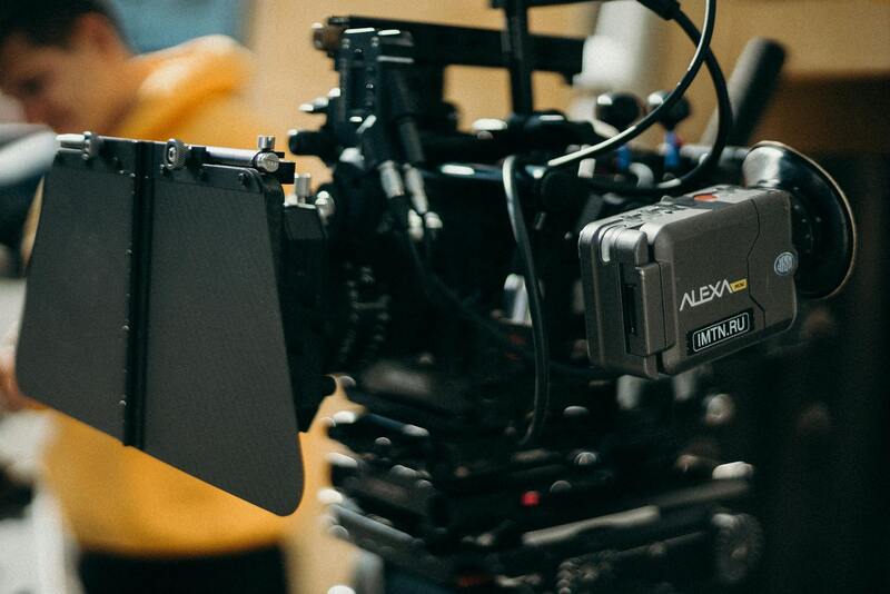
When engaging in aerial property photography, it is essential to utilize recognized methods that align with industry standards. Employing unmanned aircraft systems, commonly known as drones, under current operational frameworks enables photographers to acquire high-resolution images safely and efficiently. These platforms are equipped with advanced stabilization technology and high-quality cameras, ensuring clarity and detail in every shot. Professional operators follow established protocols to plan flights meticulously, considering factors such as optimal lighting, weather conditions, and precise flight paths to maximize image quality.
Additionally, employing aircraft-mounted cameras on manned helicopters or small planes offers a different approach, especially for expansive properties or commercial developments. These aircraft allow for broader coverage and varied vantage points, making them suitable for large-scale projects where detailed ground-level footage is also integrated into marketing materials. In both scenarios, adherence to operational procedures ensures the safety of all involved while obtaining images that meet professional standards.
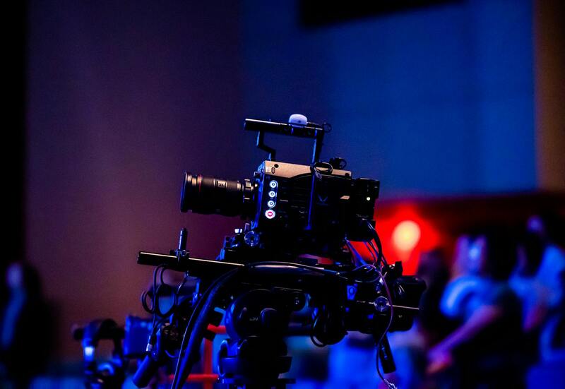
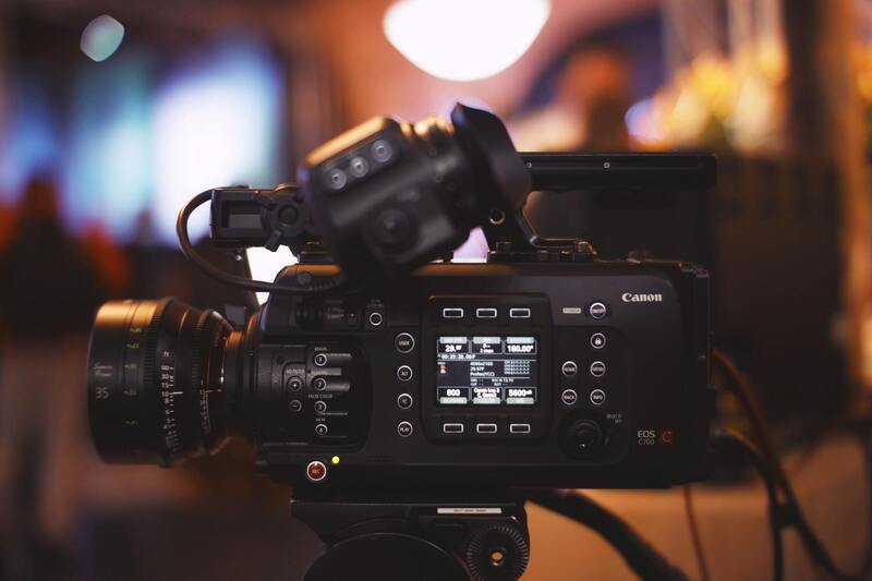
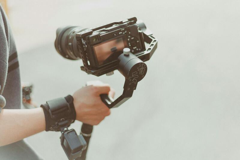
Investing in professional-grade equipment, including drones with GPS stabilizers and high-definition cameras, results in consistent, high-quality visuals. This commitment to professional tools and techniques reinforces credibility and enhances property presentation, making use of the latest advancements in aerial imaging technology.
Utilizing Software and Certification for Legitimacy
Beyond equipment, accredited training and certification programs for drone operators are standard practices to ensure competent and responsible usage. Many regions, including Miami, encourage or require operators to obtain specific certifications demonstrating expertise and understanding of operational boundaries. Using certified professionals helps guarantee that aerial imaging is conducted following best practices, aligning with official guidelines and safety standards.
The proper planning Foundation involves detailed flight plans submitted beforehand when required, clear communication with local authorities, and adherence to designated flight zones. These measures facilitate smooth operation and ensure that images are captured legally and ethically, aligning with existing regulations and industry expectations.
Integration of Aerial Photography into Property Marketing
Legitimate aerial property photos are integral to comprehensive marketing strategies. They offer a strategic advantage by providing prospective buyers with unparalleled views and understanding of the property’s layout and surroundings. When professionally captured and properly licensed, these images can be seamlessly incorporated into virtual tours, online listings, and promotional materials, enhancing the overall appeal of the property.
Ensuring that all images are acquired following established procedures guarantees acknowledgment of all legal considerations and upholds high ethical standards. This approach not only emphasizes professionalism but also builds trust with clients and viewers, reinforcing the value of genuine, high-quality visual content in Miami’s competitive real estate landscape.
Understanding Aerial Property Photography
Aerial property photography captures expansive views of real estate from elevated perspectives, providing potential buyers with a comprehensive visual understanding of the property's layout, surrounding environment, and unique features. This form of imagery leverages advanced drone technology, attaching high-resolution cameras capable of delivering sharp, detailed shots from various altitudes and angles. When executed professionally, aerial photos underscore the property’s appeal, highlighting its size, architectural details, landscaping, and proximity to amenities or natural features. These images serve as powerful visual tools in marketing campaigns, increasing engagement and facilitating quicker sales by offering an immersive view that traditional ground-level photos cannot achieve.
Ensuring Quality and Impact
Effective aerial photography relies on the right blend of technology, technique, and environmental conditions. When selecting equipment, professionals typically opt for drones equipped with stabilized gimbals and high-resolution sensors. These components ensure clear, distortion-free images, even in challenging lighting or wind conditions. The choice of camera lenses, flight altitude, and shooting angles are critical elements that influence the final output, requiring skill and experience to optimize the visual narrative of the property.
The Impact on Real Estate Marketing
Leaders in Miami’s real estate market increasingly recognize the value of aerial property photos for promoting listings across multiple channels. These images enable agents and sellers to create compelling virtual tours, detailed online listings, and eye-catching promotional materials. The visual breadth provided by aerial shots enhances storytelling, allowing potential buyers to visualize living spaces, backyard amenities, and the property's relation to nearby infrastructure or natural landscapes. As a result, aerial photography can significantly influence buying decisions and streamline the sales process.
Techniques for Capturing Effective Aerial Property Photos
- Optimal Timing: Capturing images during golden hour or clear days maximizes lighting conditions and image quality.
- Strategic Angles: Using a variety of perspectives, such as top-down, oblique, and obliquely angled shots, provides a compelling visual narrative.
- Consistent Altitude: Maintaining uniform heights ensures a cohesive and professional appearance across the photo set.
- Controlled Movements: Smooth drone movements reduce blurriness and facilitate high-quality panoramic and detailed shots.
- Weather Considerations: Monitoring weather conditions helps avoid unstable flying conditions, ensuring safety and image clarity.

Editing and Enhancing Aerial Property Images
Post-processing plays a vital role in refining aerial photos to maximize their marketing impact. Color correction, brightness adjustments, and exposure tuning help achieve natural, vibrant visuals. Cropping and perspective corrections ensure images are well-composed and aligned with the property's features. Some professionals use advanced techniques such as HDR imaging to capture a broader tonal range, or panoramic stitching to create expansive views. Consistent visual style and clarity across all images reinforce professionalism and elevate the overall presentation of the listing.
Benefits of Aerial Property Photos in Miami Real Estate
- Enhanced Virtual Experience: High-resolution aerial images provide immersive visual storytelling, engaging prospective buyers online.
- Broader Context Display: Showcasing neighborhood scenery, nearby amenities, and landscape features fosters a comprehensive understanding of the property’s value.
- Competitive Marketing Edge: Captivating visuals differentiate listings in a crowded market, attracting more inquiries and accelerating sales.
- Visual Proof of Property Size and Layout: Precise aerial shots alleviate uncertainties and assist buyers in assessing space and design remotely.
- Facilitation of Virtual Tours: Integrating aerial imagery into virtual walkthroughs creates a seamless and compelling virtual experience.
Choosing the Optimal Methods for Aerial Property Photography in Miami
When it comes to capturing stunning aerial property photos, employing proven technical methods is essential for achieving professional results. These techniques ensure that each image accurately represents the property’s features, location, and surrounding environment, making the visuals compelling for prospective buyers and marketing platforms.
One of the foundational approaches involves meticulous planning of flight paths and camera angles. This preparation guarantees comprehensive coverage of the property, from the roofline to the landscape perimeter. Predominantly, mutli-directional shots—covering front, back, and side views—offer a holistic perspective.
Time of day also plays a critical role. Opting for golden hour, shortly after sunrise or before sunset, provides soft, warm lighting that enhances textures and minimizes harsh shadows. Such natural illumination elevates the visual appeal, making the property inviting and vibrant.
Utilizing advanced drone technology with stabilizing features ensures crisp, clear images even in windy conditions. Tethered drones or those with high-grade gimbals produce steady footage that captures the property’s details without blur or distortion.

In addition to hardware, adhering to optimal camera settings—such as appropriate ISO, shutter speed, and aperture—cuing precise exposure and capturing fine details—is fundamental. Professionals often employ high-resolution cameras capable of capturing expansive views with intricate clarity, ensuring that images are suitable for both print and digital marketing materials.
Another effective method involves the use of HDR (High Dynamic Range) imaging. By combining multiple exposures, HDR techniques produce images with a broad tonal range, capturing both the shadows and highlights of a scene. This approach results in stunning visuals capable of showcasing the property's exterior features under varied lighting conditions.
Panoramic stitching is another technique utilized to depict expansive vistas or large estate grounds. This process involves stitching together multiple overlapping images to create seamless, wide-angle views that provide potential buyers and clients with a compelling sense of space.

To maximize the impact of aerial property photos, it's also important to incorporate consistent framing and composition standards. Employing the rule of thirds, maintaining symmetry, and aligning horizon lines all contribute to professional-grade visuals that communicate quality and attention to detail.
By integrating these proven methods, real estate professionals and aerial photographers in Miami can produce compelling visuals that effectively highlight property features, attract attention in competitive markets, and support successful real estate transactions.
Understanding Aerial Property Photography
Aerial property photography offers a distinct perspective that ground-level images cannot match, unveiling the full scope of a property's landscape, architecture, and surroundings. These images are pivotal in providing a comprehensive view, especially for large estates, commercial properties, or properties situated in visually appealing neighborhoods. The unique vantage point captured through drone or helicopter photography highlights features such as expansive yards, water access, and proximity to key amenities, making the property stand out in listings and promotional materials.
Effective aerial photography integrates advanced techniques and equipment to produce images that are sharp, well-composed, and visually compelling. These visuals serve as a vital tool in capturing the attention of prospective buyers or tenants, illustrating not just the property's structure but also its context within the surrounding environment. When executed correctly, aerial images can significantly influence a buyer’s perception by emphasizing the property’s unique features and potential lifestyle benefits.
In today's real estate market, high-quality aerial photography has become an essential component of a successful marketing portfolio. It complements traditional ground shots, offering a layered narrative that showcases the property's scale, aesthetics, and connection to the locale. Professional aerial images provide confidence in the property's value and appeal, creating a memorable impression that can accelerate the decision-making process for buyers.
Moreover, the prevalence of digital platforms and online listings amplifies the importance of high-quality aerial visuals. Listings with captivating aerial images tend to garner more views, increase engagement, and generate faster inquiries. They also enhance branding efforts for real estate firms, establishing a reputation for professionalism and attention to detail in property presentation.
Technical Aspects of Aerial Photography in Property Marketing
Implementing the right technical elements ensures that aerial property photos meet high standards of quality and clarity. These elements include selecting appropriate camera settings for optimal exposure, utilizing stabilization equipment to avoid motion blur, and choosing the best flight altitudes and angles to capture each property's defining features.
- Flight Planning: Careful planning of flight paths ensures comprehensive coverage and avoids unnecessary overlaps or gaps.
- Lighting Conditions: Shooting during the golden hour—shortly after sunrise or before sunset—provides warm, soft lighting that accentuates textures and details.
- Image Resolution: High-resolution cameras capture finer details that can be used in print or digital displays without loss of quality.
- Post-flight Processing: Bagging and stitching images, correcting distortions, and enhancing colors further refine the visual impact.
Professional aerial photography ensures that each shot aligns with marketing goals, offering a consistent and polished presentation of the property from an elevated perspective.
Understanding Aerial Property Photography
Aerial property photography offers a unique vantage point that traditional ground-level shots cannot match. By capturing expansive views of a property and its surrounding environment, this technique provides potential buyers with a comprehensive perspective of the estate’s layout, landscape, and neighborhood context. Such images effectively highlight features like sprawling yards, waterfront access, or proximity to nearby amenities, thereby elevating the property's appeal.
These photographs serve multiple purposes beyond mere visual appeal. They play a critical role in storytelling, illustrating the scale and grandeur of a property, and showcasing aspects that could influence purchasing decisions. High-quality aerial images also facilitate better contextual understanding for viewers, which is especially valuable in markets like Miami, where property uniqueness and location are significant selling points.

Methodologies and Approaches in Aerial Photography
Professional aerial photography can be accomplished through various strategies, each suited to specific property types and marketing goals. Options include drone photography, which is highly versatile and accessible; helicopter photography, which offers higher altitude shots for larger estates; and fixed-wing aircraft for extensive land assessments. Selecting the appropriate approach involves considering factors like property size, location restrictions, budget, and desired image quality.
Key Elements for Effective Aerial Imaging
- Optimal Flight Altitudes: Maintaining the right altitude is vital for achieving clear, impactful images without distortion.
- Lighting Conditions: Shooting during the golden hour ensures warm, even lighting that enhances textures and colors.
- Camera Equipment: High-resolution sensors, wide-angle lenses, and stabilization tools are essential for capturing crisp, professional images.
- Flight Planning: Thoroughly mapped flight paths prevent overlaps or gaps, ensuring complete and cohesive coverage of the property.
Careful attention to these elements results in images that are not only visually striking but also accurate representations of the property, meeting the expectations of discerning clients and marketing standards.
Ensuring Successful Aerial Property Photography in Miami
When employing aerial property photos to enhance real estate marketing efforts in Miami, adhering to established protocols and best practices ensures consistently high-quality results. The process begins with meticulous planning of the shoot, considering optimal weather conditions, lighting, and the specific angles that best showcase the property's advantages. Given Miami’s unique skyline and diverse landscapes, choosing the right time of day is critical—shooting during the golden hour often results in warmer light, reducing shadows and highlighting textures. Utilizing cutting-edge drone technology is essential for capturing detailed and expansive images. Drones equipped with high-resolution cameras, stabilization systems, and adjustable lens options enable photographers to achieve sharp, comprehensive visuals from various altitudes and angles. Moreover, pre-mapping flight paths ensures thorough coverage, especially for large or complex properties, preventing omissions and overlaps. A thorough understanding of Miami's municipal airspace regulations and city-specific guidelines facilitates smooth operations and helps avoid potential disruptions. Maintaining proper flight permissions and operating within designated zones are critical aspects of a professional aerial photography workflow. During post-production, editing processes focus on enhancing color balance, contrast, and sharpness to produce compelling images that resonate with potential buyers and investors. Correcting lens distortions and cropping for optimal framing further elevates the visual impact. High-quality aerial photos not only provide an eye-catching visual but also serve as vital marketing assets that can significantly influence property visibility and perceived value. When done correctly, aerial property photography becomes a powerful tool in the competitive Miami real estate landscape.
Incorporating aerial images across various marketing channels—such as MLS listings, social media, and virtual tours—maximizes reach and engagement. Their strategic use allows prospective buyers to grasp the property's layout, scale, and surroundings at a glance, fostering greater interest and faster sales cycles. The success of this approach depends on working closely with experienced professionals who understand the intricacies of aerial photography and Miami’s unique urban and natural environments. This partnership ensures the deployment of industry-best techniques, compliance with regulations, and the creation of stunning visuals that uphold the highest standards of quality and authenticity.
Maximizing Aerial Property Photos through Strategic Integration
Effectively incorporating aerial property images into comprehensive marketing strategies significantly enhances property visibility and appeal. When used strategically across various platforms, these high-impact visuals provide prospective buyers with an immersive understanding of the property's scope and surroundings, expediting the decision-making process.
Online Listings and MLS Integration
Augmenting property listings with professionally captured aerial photos ensures that potential buyers can instantly gauge the property's scale and location context. Including multiple high-resolution aerial images in MLS listings positions the property as a premium offering, highlighting features such as expansive yards, proximity to landmarks, or scenic views. These images should be integrated seamlessly with interior shots to create a compelling visual story that engages viewers and encourages virtual walkthroughs.
Social Media Campaigns
Social media platforms are vital components of modern real estate marketing. Sharing aerial property photos on channels like Instagram, Facebook, and LinkedIn amplifies reach and engagement. Eye-catching aerial shots tailored with appropriate captions and hashtags can significantly increase visibility among targeted audiences. Regular updates featuring new aerial images keep the property at the forefront of followers' feeds, fostering ongoing interest.
Virtual Tours and Interactive Media
Incorporating aerial imagery into virtual tours adds an extra dimension to property showcases. These images can be embedded within interactive platforms, providing a 360-degree perspective that accentuates the property's spatial qualities. This approach is particularly effective in attracting remote buyers or investors exploring Miami's diverse neighborhoods from afar.
Offline Marketing Materials
High-quality aerial photos also play a role in traditional marketing collateral such as brochures, postcards, and signage. These tangible assets serve as visual anchors that reinforce the property's appeal during open houses, community events, or direct mailing campaigns. Combining offline and online strategies ensures a cohesive marketing approach that maximizes reach and impact.
Using Data Analytics to Optimize Visual Content
Analyzing engagement metrics related to aerial imagery allows marketers to refine their approach. Platforms that track viewer interactions can identify which images resonate most, enabling targeted adjustments. For example, reordering images or emphasizing particular features in aerial shots can boost interest and improve conversion rates.
Collaborating with Aerial Photography Professionals
Partnering with skilled aerial photography experts ensures that visuals are compelling, accurate, and compliant with all operational norms. These professionals possess the technical expertise to create captivating images that highlight the property's strengths while maintaining strict adherence to safety and quality standards. Their experience guarantees that the aerial content produced integrates seamlessly with broader marketing initiatives, delivering maximum return on investment.